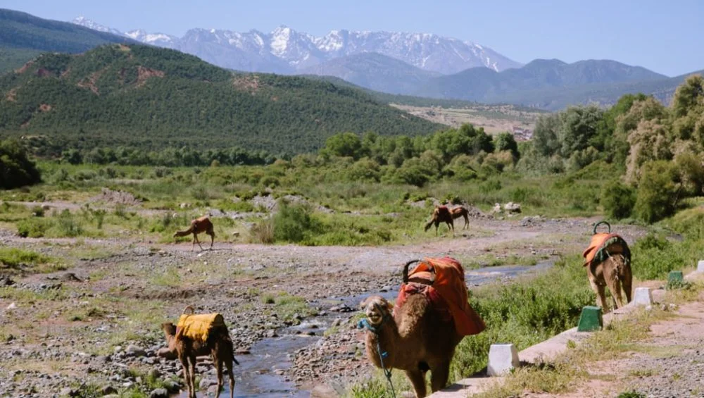
Planning a trip through Morocco’s breathtaking mountain landscapes is much easier when you have the right digital tools. A reliable Atlas Mountains map helps travelers discover scenic routes, traditional Berber villages, hiking trails, and hidden valleys that are often missed by standard travel guides.
Whether you’re driving, trekking, or joining a guided adventure, using interactive mapping resources can make your journey safer and more enjoyable.
In this guide, you’ll learn about the best online maps, navigation apps, and digital resources that can help you explore one of North Africa’s most spectacular destinations.
Why Interactive Maps Matter for Mountain Travel
Atlas Mountains map regions present unique navigation challenges. Roads can be winding, remote villages may not have clear signage, and hiking paths often branch into multiple directions. Interactive maps provide real-time information that printed maps simply cannot offer.
Some of the biggest advantages include:
- Offline navigation
- GPS tracking
- Elevation information
- Trail difficulty ratings
- Road condition updates
- User reviews and photos
- Estimated travel times
With these features, travelers can confidently plan each day without worrying about getting lost.
Google Maps for Road Trips
Google Maps remains one of the easiest tools for visitors exploring Morocco by car.
It provides:
- Turn-by-turn navigation
- Live traffic updates
- Business listings
- Hotels and restaurants
- Fuel stations
- Estimated driving times
Before leaving larger cities like Marrakech, download offline maps because mobile coverage becomes limited in remote mountain regions.
Google Maps works particularly well for major highways and paved roads connecting popular tourist destinations.
Maps.me for Offline Adventures
Maps.me has become a favorite among backpackers and hikers.
Unlike many navigation apps, it works almost entirely offline once the maps are downloaded.
Benefits include:
- Walking trails
- Hiking routes
- Mountain villages
- Campsites
- Scenic viewpoints
- Offline search
This makes it an excellent backup whenever internet service disappears.
Many experienced travelers keep Maps.me alongside Google Maps for additional security.
AllTrails for Hiking Enthusiasts
If hiking is part of your itinerary, AllTrails offers some of the best trail information available.
Features include:
- Trail length
- Elevation gain
- Difficulty ratings
- User photos
- GPS navigation
- Route reviews
Many popular trekking routes include detailed descriptions that help hikers prepare properly before setting out.
The community updates also provide valuable information about trail conditions.
OpenStreetMap for Detailed Exploration
OpenStreetMap is one of the most detailed community-built mapping platforms available today.
Because thousands of volunteers constantly update roads and footpaths, it often includes locations that commercial mapping services overlook.
Travelers can use OpenStreetMap through several mobile applications, making it useful for discovering:
- Small villages
- Local roads
- Mountain tracks
- Walking paths
- Natural landmarks
This open-source platform continues to improve every year.
Gaia GPS for Serious Outdoor Adventures
Adventure travelers who enjoy trekking over multiple days often rely on Gaia GPS.
It offers professional-level navigation features, including:
- Topographic maps
- Offline downloads
- Elevation profiles
- GPS recording
- Route planning
- Weather overlays
These advanced tools help hikers prepare for longer journeys through challenging terrain.
Although some features require a subscription, many travelers find the investment worthwhile.
National Geographic Map Resources
National Geographic has long been respected for producing accurate geographical information.
While their interactive tools are more limited than navigation apps, they provide excellent educational content about landscapes, mountain ranges, and regional geography.
These maps are especially useful during trip planning when learning about the broader region before arrival.
Wikiloc for Community Hiking Routes
Wikiloc allows outdoor enthusiasts to upload and share GPS routes.
Users can browse thousands of hiking paths submitted by fellow travelers.
Information typically includes:
- Route distance
- Elevation
- Estimated hiking time
- Photos
- GPS tracks
- User ratings
This community-driven approach helps visitors discover lesser-known routes beyond the most popular attractions.
Travel Planning with an atlas mountains map
Before arriving in Morocco, spend time studying an atlas mountains map to understand the geography of the region.
Planning ahead allows you to:
- Estimate driving distances
- Choose overnight stops
- Identify hiking opportunities
- Avoid unnecessary detours
- Schedule fuel breaks
- Locate emergency services
A little preparation can significantly improve the overall travel experience.
Features to Look for in Interactive Maps
Not every mapping application offers the same functionality.
The best options usually include:
Offline Access
Internet service isn’t guaranteed in remote mountain areas.
Offline downloads ensure continuous navigation.
GPS Tracking
Real-time location helps travelers stay on course during hikes or scenic drives.
Terrain Information
Elevation profiles provide valuable insight into climbing difficulty and travel times.
Satellite Imagery
Satellite views reveal valleys, rivers, mountain passes, and road conditions.
User Reviews
Traveler feedback often highlights closed roads, damaged trails, or seasonal conditions.
Combining Multiple Mapping Apps
Experienced travelers rarely depend on just one navigation tool.
Instead, they combine several resources.
For example:
- Google Maps for driving
- Maps.me for offline navigation
- AllTrails for hiking
- Wikiloc for hidden routes
- Gaia GPS for advanced trekking
Using multiple sources provides greater confidence when exploring unfamiliar areas.
Safety Tips When Navigating Mountains
Interactive maps are incredibly useful, but travelers should also follow basic safety practices.
Always:
- Download maps before departure
- Carry a portable power bank
- Bring a paper backup map
- Tell someone your planned route
- Check local weather forecasts
- Start hikes early in the day
- Carry sufficient drinking water
Technology should support your journey, not replace careful preparation.
Seasonal Considerations
Weather conditions can dramatically affect accessibility.
During winter, snow may block high mountain passes.
Spring offers lush valleys and flowing rivers, while autumn provides comfortable temperatures for hiking.
Summer is generally suitable for higher elevations, although lower valleys can become quite hot.
Checking seasonal road reports before traveling helps avoid unexpected delays.
Finding Hidden Attractions
One of the greatest advantages of interactive mapping platforms is discovering places that don’t appear in traditional guidebooks.
Many users upload locations including:
- Scenic waterfalls
- Ancient kasbahs
- Remote viewpoints
- Local markets
- Family-run guesthouses
- Traditional villages
These hidden gems often become the most memorable part of a trip.
Using GPS Responsibly
While GPS technology is incredibly accurate, it should never be followed blindly.
Mountain roads occasionally change due to landslides, construction, or seasonal flooding.
If local residents recommend an alternate route, their advice is often worth considering.
Combining digital navigation with local knowledge creates the safest travel experience.
Final Thoughts
A dependable atlas mountains map is one of the most valuable travel tools for anyone exploring Morocco’s dramatic landscapes. Interactive resources simplify navigation, improve safety, and help visitors uncover destinations beyond the typical tourist routes.
Whether you’re embarking on a scenic road trip, planning a challenging trek, or searching for authentic cultural experiences, choosing the right mapping applications can transform your adventure.